Pulsar Helium Inc (TSXV: PLSR & OTCQB: PSRHF), has provided an operational update for its Topaz project in Minnesota, and Tunu project in Greenland. At Topaz, acquisition of a 20.4km (12.7 mile) long 2D seismic line has commenced, and at Tunu the passive seismic survey is underway.
Topaz
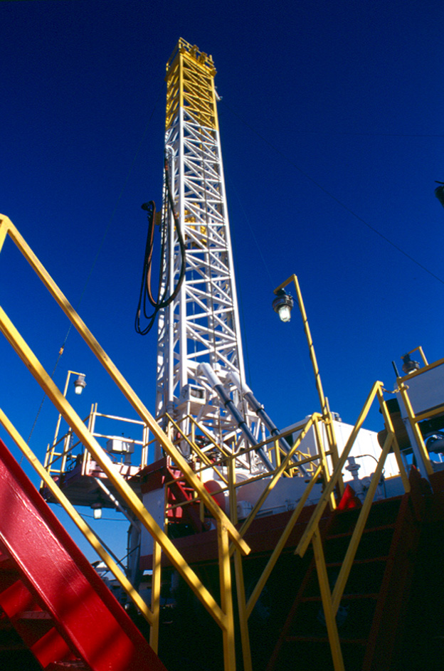
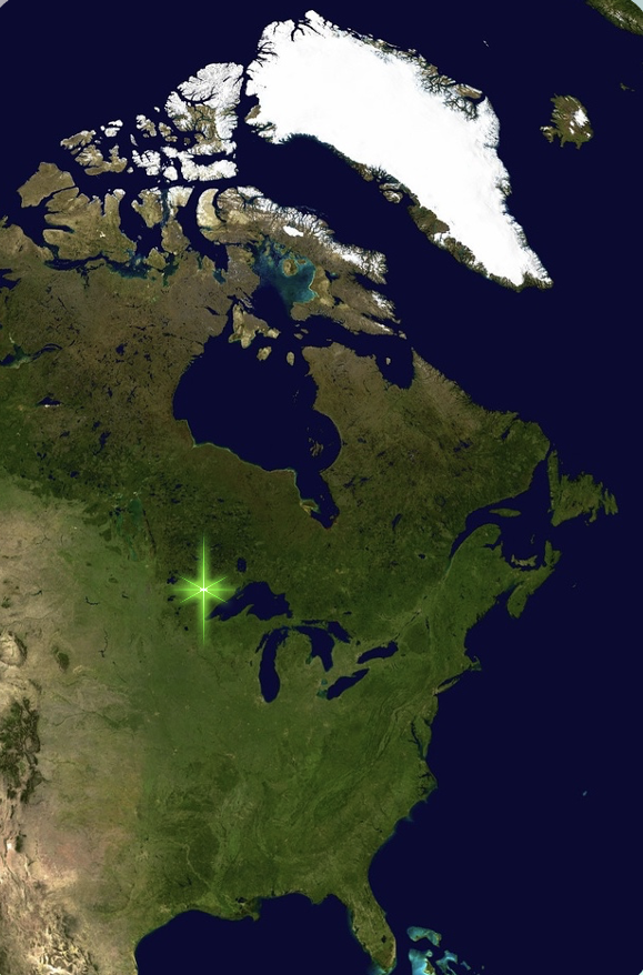
Data acquisition for the 20.4km (12.7 mile) 2D seismic survey began on August 8 at the Topaz project in Minnesota, USA. The 2D seismic line was commissioned after the successful seismic sweep survey (refer to Pulsar news release dated July 9, 2024) that identified a seismic reflector at a depth coincident with the helium-bearing zone encountered in Jetstream #1 and as a result demonstrating that this method is an efficient exploration tool. The 2D seismic survey acquisition is expected to complete mid-August, which will then undergo processing and interpretation.
The 2D seismic line is expected to provide high-resolution structural data and will be used to complement and update the current subsurface 3D model. The survey utilises existing road access, in a nominal E-W orientation, and passes within 460 metres (1,509 feet) to the south of the Jetstream #1 appraisal well. The combination of this data with the existing dataset will be used to assist the placement of step out appraisal wells from Jetstream #1.
The updated Topaz resource estimation being conducted by Sproule International Ltd is near completion and anticipated to be received in August.
Tunu
Field activities are underway for the 2024 field season at the Tunu project, Greenland. The first array of passive seismic survey nodes was deployed on August 6th, at the Kap Tobin prospect in the south of the licence area. A total of three passive seismic arrays are planned and anticipated to be completed in September and then sent for processing and interpretation. The passive seismic survey will provide the first sub-surface dataset for the Tunu project.
Migratory primary helium (not associated with hydrocarbons) was identified by Pulsar Helium at Kap Tobin, in addition to a potential geothermal heat source. There are multiple untested hot springs within the project area that provide a favourable sample medium for gases from depth, emanating at surface.
Passive seismic, formally referred to as ambient noise tomography, is a cost-effective and non-invasive geophysical method employing background seismic noise, generated by human activities or natural sources, to generate 3D maps of subsurface structures. Through analyzing the variations in ambient noise propagation, geoscientists can measure details about the 3D velocity variation and properties of geological bodies.


