Gold exploration and development company Panthera Resources Plc (LON:PAT), with assets in West Africa and India, has announced that it has recently completed an Induced Polarisation Geophysical Survey (“IP”) and expanded its geological mapping and outcrop rock sampling at the Bido Project in Burkina Faso.
Highlights
· The geophysical survey has identified 28 strong IP anomalies at Bido
· Most targets correlate with outcropping mineralised vein systems and or extensive artisanal workings
· Survey covers the Beredo and the Somika areas with several other mineralised domains to be tested including the Kwademen prospect
· Recent gold in rock sample results identified several outcropping mineralised vein systems coincident with the strong IP anomalies:
o 42.2g/t Au
o 20.0g/t Au
o 13.6g/t Au
o 13.4g/t Au
o 10.9g/t Au
· Results from further rock sampling in the survey area are pending
Commenting on the announcement, Mark Bolton, Managing Director of Panthera Resources said:
“The Bido project is the next in Panthera’s pipeline after Cascades and Bassala. Covering 100 km2, it contains a considerable number of mineralised gold prospects across multiple geological domains.
The geophysical survey has identified 28 strong anomalies to date, many of these targets are coincident with extensive artisanal works and/or gold in rock sample assays.
Following these recent, very positive results, we have expanded the geological mapping and rock sampling to cover the remaining area in the north of the survey area.
The completion of the geophysics, together with the current geological mapping exercise, represents the final stage of the present work programmes in this part of the Bido licence area, which will then allow for future drilling campaigns to be planned and proposed for budget allocations.”
Summary of the Bido Project
The Bido permit in Burkina Faso is located on the Koudougou quadrangle some 125km WSW of the capital Ouagadougou. The tenement lies within the Boromo greenstone belt which is principally composed of Paleoproterozoic Birimian terrain within the West African Man Craton, consisting of volcano-sedimentary and plutonic domains metamorphosed during the Eburnean period with even younger intrusive bodies that have been intruded into both domains. This belt also hosts the Poura gold deposit (1 to 2 Moz), situated about 50 km to the SSW of the area, as well as numerous gold occurrences. The Perkoa VMS deposit is located about 35 km to the north of the area.
Bido Geophysical Survey
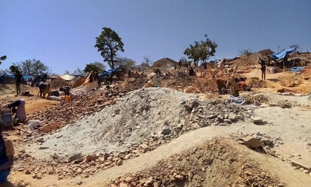
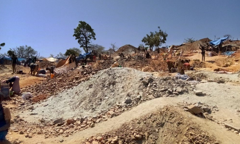
The IP survey, over an area of approximately 15km2, covers the Beredo and the Somika areas. The Company targeted this volcanic centre with its maiden geophysical survey at Bido, where previous geochemical work, including recent rock sampling, had returned very promising results. These areas also host extensive active artisanal workings.
The survey has characterised three extensive features described in the following, in which some 47 anomalies, including 28 high-priority ones, have been identified. The Company is currently evaluating the survey results in conjunction with its extensive geoscientific information and in particular the recent mapping and rock sampling. Preliminary analysis indicates multiple targets where the strong/moderate IP Axes defined from interpreted resistive and conductive structures defined by the IP survey are coincident with mapped vein structures, gold in rock samples and artisanal workings.
Following the completion of the data review, the Company will prioritise the targets for future drilling.
Geophysical Survey
The Company contracted SAGAX AFRIQUE SA to conduct an IP geophysical survey over several grids located in the Bido licence area before the onset of the wet season. The work consisted of approximately 200-line km of Gradient Array (100m x 25m grids) over the Beredo and Somika areas with follow-up Pole – Dipole Array IP/Resistivity Surveys (a = 50m, n =1 to 10) as appropriate to define drill targets.
The survey has characterised three extensive chargeability features, the western corridor (Zone W), the central wide corridor (Zone C) and the eastern corridor (Zone E). Zone E incorporates the eastern section of Beredo and the Somika grid.
Zone W comprises a pervasive north-south chargeable high (2.5-6 mV/V). Zone C comprises many well-defined chargeability individualized axes through the centre of this corridor. Zone E displays similar characteristics as Zone C with well-defined chargeability individualized axes, particularly in the far north, far south and east.
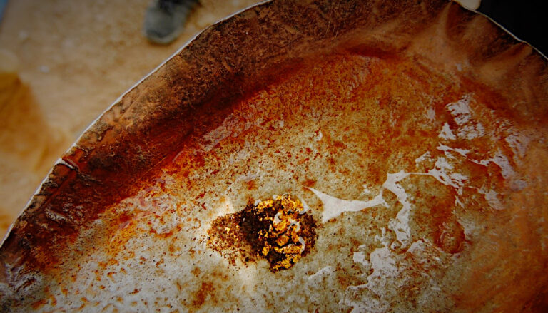
During 2021-22, rock sampling was carried out over outcrops of sheared country rock containing quartz veining identified by our geological mapping campaigns, often located in areas associated with shallow artisanal gold diggings. At least five localities have been sampled at strike lengths of over 500 metres, returning gold values greater than 1 ppm.
It is interpreted that the central corridor may define a shear zone trending NNE (N5o-N10o), within which numerous broadly similar-trending, highly chargeable structures may represent altered and sheared intermediate metavolcanic or other intrusive rock.
Similar chargeable anomalies observed on other portions of the grid have broadly comparable trends.
The resistivity survey results have been superimposed on the gold in rock sampling assays. It is speculated that the resistive zones may represent higher quartz content associated with silica flooding of altered and structural country rock.
Pole-Dipole IP Survey Data and Results
In addition to the gradient array IP survey, the Company completed Pole-Dipole survey lines at Beredo-Kiékouyou (4 lines) and Somika (2 lines). The Pole-dipole line locations were located based on previous knowledge of the occurrence of gold in artisanal workings, known areas of mineralised veining and the results of the gradient array IP that indicated interesting zones. A Pole-dipole array is commonly used for vertical investigation.
The survey measured the resistivity and chargeability properties on the cross-section of each survey line. The data was utilised to plot the resistivity and chargeability inversion pseudo sections, the pseudo-lithology cross-section as well as the gradient chargeability contours map around the pole-dipole surveyed lines.
The depth of investigation of these Pole-Dipole surveys (a=50M, n=1 to 10) is between 200m and 250m. The anomalies pointed out with the gradient array survey are identified in these sections. The three anomalous corridor zones (Western zone, central Zone, and Eastern zone) are also identified here.
The resistivity sections (UBC Resistivity) detail the geometry (relief) of the interface between the conductive clayey covering horizon, interpreted as saprolite, and the underlying resistive bedrock, interpreted as intrusive. The latter is affected by many syn-geological deformations (Faults/micro-faults/shearing) reflected by local thickening of the conductive covering. These faults are represented by the conductive axes on the gradient map.
Line 20400N in the Beredo area is indicative of the pole-dipole survey in this area. The B12-13 anomaly identified by the survey corresponds to a target where rock sampling has returned multiple gold values over 1g/t Au over 1 km strike length including:
· 6.8g/t Au
· 10.9g/t Au
· 6.2g/t Au
· 13.6g/t Au
· 13.4.9g/t Au
· 20.0g/t Au
At the Somika prospect, the pole-dipole survey below has highlighted the eastern chargeability corridor. The survey infers a felsic intrusion buried under a conductive covering and affected by geo-structural deformations.
The chargeability and the resistivity inversion sections assist in determining the dip of the rock formations, thus assisting in planning drill orientation. At Somika, we consider that the survey has identified sub-vertical structures, undercover, that are on occasion slightly easterly dipping.
Line 29900N is indicative of the pole-dipole survey at the Somika prospect where the survey has identified a strong anomaly extending at depth at S1 and S4. As mentioned earlier there is an observed conductive covering indicated by the data interpretation and in the field that is identified as laterite and saprock to the west of this zone at the Somika Hill artisanal workings (B7/10 anomaly) intermittent sheared and veined country rock (Altered felsic?) has been exposed at several locations.


